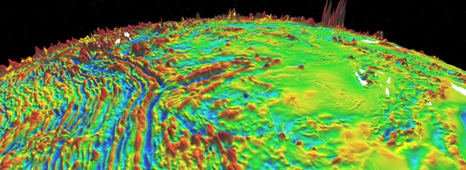
Crowdsourcing Earth's magnetic field

San Francisco, California—In a major citizen science effort, geophysicists are asking smart phone users around the world for help mapping Earth’s magnetic field.
During the fall meeting of the American Geophysical Union, Dr. Manoj Nair asked people around the world to download the CrowdMag application. The app takes advantage of cheap digital magnetometers embedded in smart phones.
“Our goal is to see if low-quality but high-frequency magnetic measurements around the world can help us improve navigation systems,” said Nair, who is a scientist with the Cooperative Institute for Research in Environmental Sciences and works in NOAA’s National Geophysical Data Center.
iTunes | Google Play
Earth’s magnetic field shifts continually, rippling as a gust of solar wind arrives from the sun or shifting with the construction of a new underground pipe. For those who want to protect infrastructure from damage by space weather, or those who simply want to make better navigation systems, it’s critical to understand such magnetic field dynamics.
Right now, expensive instruments on satellites and stationary observatories help researchers and engineers take measure of the planet’s magnetic field. Those data can be extremely accurate, but they’re very limited in time and space. Even a satellite can probe only one region at a time.
Enter the smart phone with a map app! Across the planet, more than 1 billion people carry smart phones with digital magnetometers. These are not sophisticated instruments, but they’re generally accurate enough to tell a person whether she’s walking north or east, or if her meeting is in the building on this side of the street or the other.
“The question we have is if we can reduce the noise in our measurements by making a lot of them,” Nair said.
The work may help improve navigation systems, and it may also help researchers better understand the shifting magnetic field itself, he said. For example, right now, when a shock wave of space weather arrives at Earth, Nair said, it’s impossible to know how the entire magnetic field around the planet responds. Better understanding that response—with simultaneous measurements distributed around the planet—could help power line operators know when they’re vulnerable to induced currents, or let oil drillers know when their navigation tools will be unreliable.
And better understanding geographic variation is important, too—a buried iron pipe below a street can send a map app—and its user—in the wrong direction, by affecting the magnetic field. Mapping such locations through crowdsourcing could improve digital wayfinding, too.
This is an experiment in progress: It’s not yet clear if mobile digital magnetometers will be accurate enough to help scientists understand magnetic field dynamics. “If we can reduce the noise, smartphone measurements will be integrated into mathematical models describing the space and time variations of the Earth's magnetic field,” said Dr. Arnaud Chulliat, a CIRES scientist and a co-investigator in this project. “So that is one of our long-term goals.”
CrowdMag was made public this month and can be downloaded through the iTunes App Store or Google play (click here for more information).
CIRES is a partnership of NOAA and CU Boulder.
Learn more at AGU:
ED53A-3470: CrowdMag – Crowdsourcing magnetic data. Friday afternoon poster session, Moscone South Poster Hall, 1:40-6 pm
- See more at: http://cires.colorado.edu/news/press/2014/crowdsourcingscience.html#sthash.msopFKhP.dpuf