Nimbus data rescue
Recovering the past to understand the future
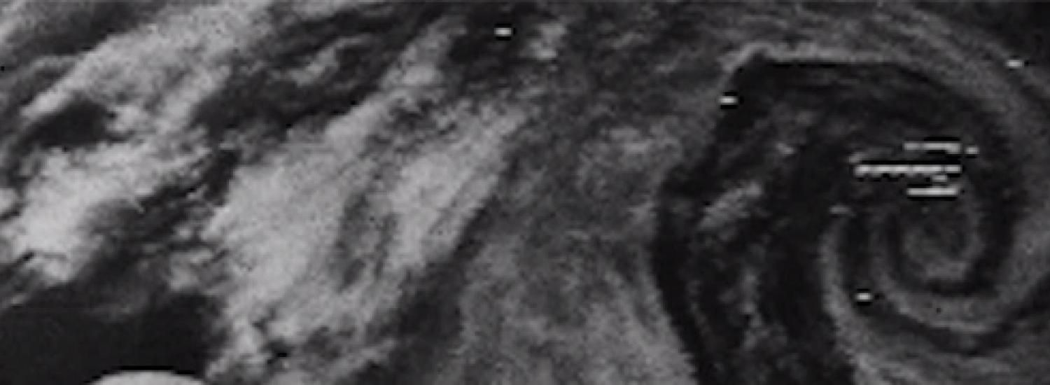
In 1964, the Beatles took the world by storm, Lyndon Johnson won his second term as President—and NASA launched the first of seven Nimbus spacecraft to study Earth from space.
Fifty years later, experts at the National Snow and Ice Data Center (NSIDC) at the University of Colorado Boulder are recovering long-lost images from old Nimbus data tapes and black and white film, and finding treasures in the pictures.
“By extending the satellite record back to the 1960s, we can understand more about the history and natural variability in things like sea ice extent in the Arctic, and the Antarctic,” said David Gallaher, technical services manager at NSIDC. The modern satellite record of sea ice goes back only to 1979.
In the Arctic, sea ice extent was larger in the 1960s than it is these days, on average. “It was colder, so we expected that,” Gallaher said. What the researchers didn’t expect were “enormous holes” in the sea ice, currently under investigation. “We can’t explain them yet,” Gallaher said.
“And the Antarctic blew us away,” he said. In 1964, sea ice extent in the Antarctic was the largest ever recorded, according to Nimbus image analysis. Two years later, there was a record low for sea ice in the Antarctic, and in 1969 Nimbus imagery, sea ice appears to have reached its maximum extent earliest on record.
When NASA launched Nimbus-1 50 years ago, the agency’s key goals were to test instruments that could capture images of clouds and other meteorological features, Gallaher said.
The Nimbus satellites dished up such excellent observations, NASA eventually handed over key technologies to the National Oceanic and Atmospheric Administration (NOAA), for use in weather forecasting, including hurricane forecasts.
But even with such success, data tapes and film that recorded Nimbus observations slipped through the cracks.
“At the time, the satellites’ real-time observations, including clouds, for example, were what people wanted most of all, for weather forecasting,” Gallaher said.
He and colleagues with NASA Goddard Space Flight Center in Greenbelt, Maryland, tracked down old Nimbus film to a NOAA facility in Suitland Maryland, where they were stored for about 25 years, and then Asheville, North Carolina. There, hundreds of 35-millimeter film reels lay in an old storage facility.
With funding from NASA, the researchers located and made operational an old film reader that could digitize the images. The team figured out how to determine geographic location for each image, given the orbit of the satellite. And they’ve now made more than 250,000 images public.
NSIDC, the world’s leading source of information on sea-ice changes at Earth’s poles, is part of CIRES, the Cooperative Institute for Research in Environmental Sciences
CIRES is a partnership of NOAA and CU Boulder.
Links:
Download the first image from Nimbus-1, captured August 31, 1964.
Watch a short video about the Nimbus data rescue project at NSIDC.
Check out and download Nimbus data.
Learn more about the data rescue project.