Researchers climb mountains to improve weather and water forecasting tools
NOAA and CIRES scientists installed a state-of-the-art observing network

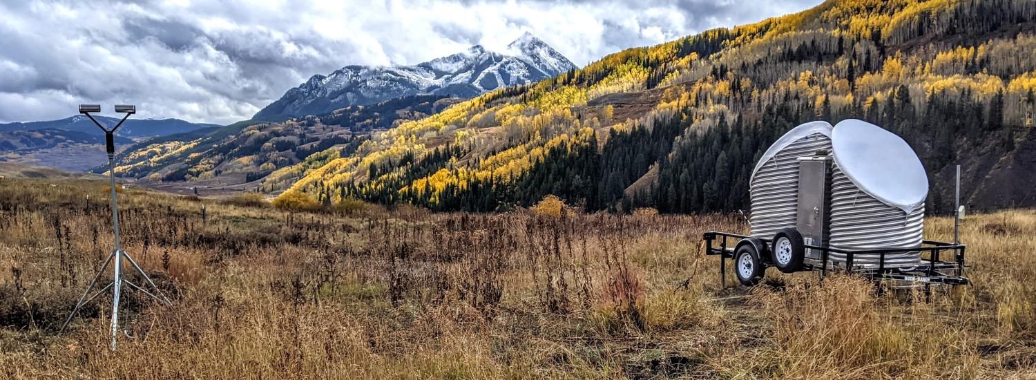
As aspen leaves blazed across the Colorado Rockies this fall, NOAA and CIRES scientists were busy installing a state-of-the-art observing network in a remote basin near Crested Butte to study how precipitation forms in the complex, high-altitude terrain of the West Elk Mountains. Their goal: improving weather and river flow prediction in a watershed critical to the region’s water supply.
“Rivers often originate in remote, mountainous terrain,” said Gijs de Boer, a CIRES researcher in NOAA’s Physical Sciences Laboratory. ”We need reliable prediction tools in these headwater regions so water managers can make well-informed decisions about how much water to expect each year.”

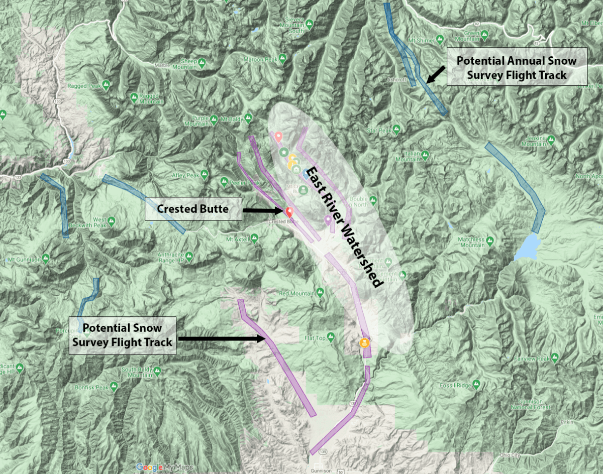
Topographic image of the Crested Butte–Gunnison region, showing the location of SPLASH surface instrumentation (colored icons) and NOAA snow survey flight tracks (purple). Together, the SPLASH network and airborne snow survey measurements provide a unique set of observations that can inform seasonal water supply and flood risk outlook.
The Colorado River Basin is a primary water source for six states and 40 million people from Denver to Los Angeles, as well as for California’s agriculturally significant Imperial Valley. Rising in mountainous headwater regions, snowmelt generates the majority of streamflow and water reservoir storage in the Colorado River Basin. However, a 20-year drought and warming caused by climate change have already significantly impacted water availability, resulting in the first-ever declaration of shortage conditions by the Bureau of Reclamation in 2021.
Factor in impacts from a growing population in the region, sobering new predictions about the ongoing drought and an estimated 10 to 50 percent further reductions in Colorado River flow by mid-century, and it’s clear there’s a growing need for careful water resource management.
To help address this need, NOAA and partners from universities, federal and state organizations and industry are participating in a year-long Study of Precipitation, Lower Atmosphere and Surface for Hydrometeorology, or SPLASH.
“A driving motivation for SPLASH is better understanding the physical processes impacting the watershed, and how much water ends up in the Colorado River,” de Boer said.

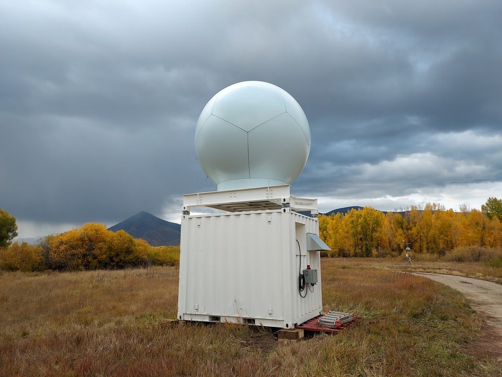
One of the X-band radars deployed as part of the SPLASH field study sits beneath somber skies in Colorado's West Elk Mountains. Photo: Rob Cifelli/NOAA
A network of radars, instrumented towers and individual sensors will measure temperature, precipitation amount, soil moisture, snowpack properties and other variables. Atmospheric Surface Flux Stations, like those used in the yearlong MOSAiC Arctic expedition, will observe interactions between the surface and atmosphere.
In addition to land-based measurements, NOAA and industry partners will fly instrumented aircraft to collect snowpack survey observations at key times during the snow accumulation and snowmelt seasons. Meanwhile, the team will deploy small uncrewed research aircraft to investigate the basin at altitudes where it’s unsafe to fly crewed airplanes. Once setup is complete, the researchers will install signs identifying the instruments and explaining what they do—so hikers, hunters, and other visitors in the study area can learn about the research.
NOAA’s Physical Sciences Laboratory is leading the SPLASH campaign, with participation from other NOAA laboratories and offices, CIRES, CU Boulder and other partners. The field campaign continues through next summer.
Findings from SPLASH will complement a U.S. Department of Energy campaign called the Surface-Atmosphere Integrated field Laboratory (SAIL) also underway in the region. SPLASH will also use observations from the USGS’s Next Generation Water Observing System in the Upper Colorado River Basin to help evaluate and improve NOAA’s latest suite of modeling tools, including the Unified Forecast System, Rapid Refresh Forecast System and National Water Model.
“In addition to providing better situational awareness to forecasters during the study, the data we collect from SPLASH will help NOAA improve precipitation and streamflow forecasts in this region,” said Rob Cifelli, a NOAA researcher in the Physical Sciences Laboratory. “Lessons learned here will allow us to better predict water resources in the Colorado River Basin.”
This story was written with NOAA Communications.