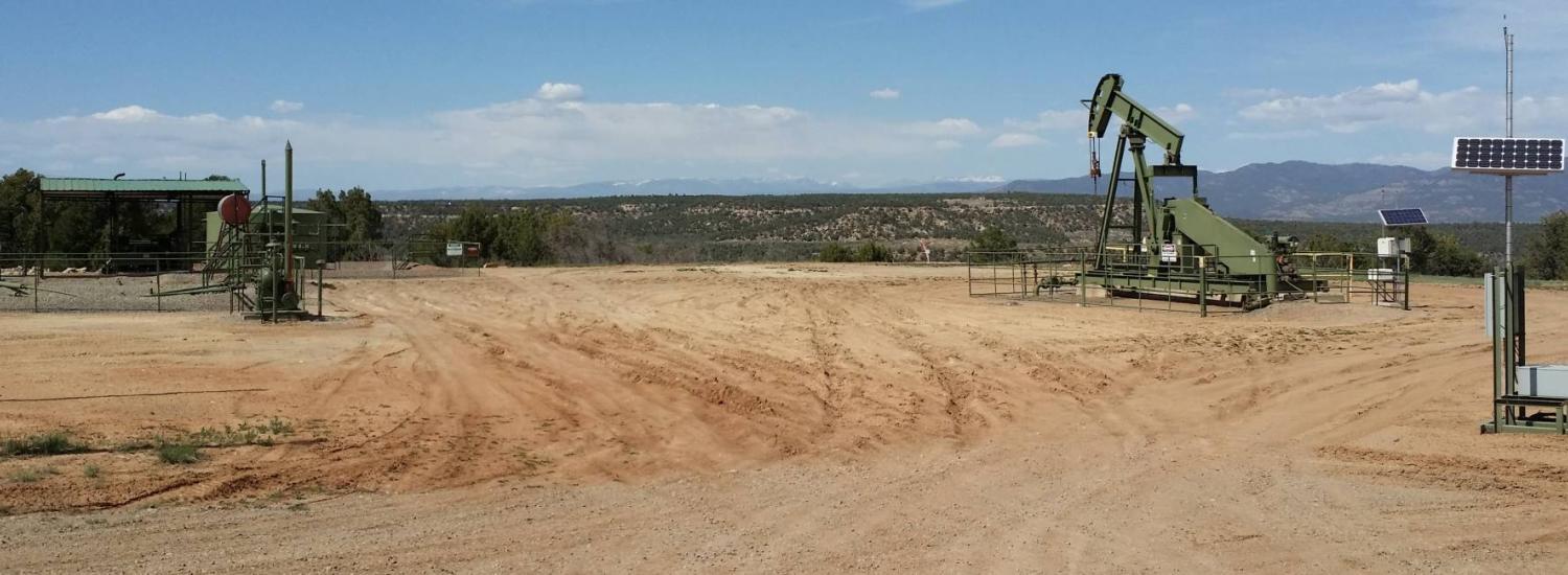
US Methane “Hotspot” is Snapshot of Local Pollution

A giant methane cloud caught by satellite in 2014 looming over the U.S. Southwest wasn’t a persistent hotspot, as first thought when it made national news. Instead, the methane cloud was the nightly build-up of polluted air that trapped emissions of the potent greenhouse gas near the ground, according to a new CIRES- and NOAA-led study.
“The hotspot detected from space over the San Juan Basin doesn’t mean the region has the largest emissions of methane in the United States,” said Gabrielle Pétron, a CIRES scientist working in NOAA’s Global Monitoring Laboratory. “It does mean that this is a low-terrain region, and in this kind of terrain any methane or other pollutants emitted nearby can pool overnight.”
The satellite observations that generated headlines weren’t detailed enough to reveal the exact sources of the methane. So in 2015, scientists from CIRES, INSTAAR, and NOAA participated in a field campaign that used instrumented aircraft and vans to answer those questions.
Measurements allowed the researchers to attribute the region’s methane emissions to coalbed methane, oil and gas production and other sources, and to determine that the buildup was largely due to atmospheric conditions that concentrated pollution near the surface overnight. They found that each day—after the satellite overpass—winds picked up and dispersed the methane-rich air.
The team’s findings were published this month in the journal Elementa.
This map shows how methane levels differ from average background levels for 2003 to 2009, as derived from remote sensing data from the European Space Agency's SCIAMACHY instrument. Yellows and red indicate higher-than-normal anomalies. Image: NASA/JPL-Caltech/University of Michigan
Methane is an important greenhouse gas, about 28 times more effective at warming the Earth than is carbon dioxide, per mass. So scientists took notice when an instrument on a European Space Agency satellite mapped a giant methane anomaly over the San Juan Basin in the U.S. Southwest between 2003 and 2009. A 2014 study attributed the methane hotspot to fossil fuel extraction operations in the region.
During the field mission, researchers criss-crossed the San Juan Basin by aircraft to detect and map methane emission plumes. Two vans, outfitted with sophisticated chemical detection instruments, sampled the emission plumes near their sources to take finer-scale measurements. “We could identify specific sources of methane and compare their chemical signature with what the airplane found,” Pétron said. “When we saw a lot of similarities between the van and the plane, we knew our measurements were good.”
From these measurements, the researchers identified distinct methane signatures that they could assign to coal mining, oil and gas production or degassing of coal outcrops exposed to the surface. “The access and background information we had because of the collaboration between researchers, the Bureau of Land Management, state and local governments and Native nations, were key to our study,” said Pétron, the paper’s lead author.
Two vans, outfitted with sophisticated chemical detection instruments, sampled emission plumes near methane sources to take fine-scale chemical signature measurements. Credit: Gabrielle Pétron/CIRES
Pétron and her colleagues found that emissions from coalbed methane and oil and gas production operations contributed 66 to 75 percent of the methane detected by two aircraft in their 2015 study. Degassing from the coal-bearing Fruitland Formation in La Plata County, Colorado, contributed at most 8 percent of the total detected methane. Emissions from oil operations mostly near Counselor, New Mexico contributed 5-6 percent. Finally, gas venting from the San Juan underground coal mine near Farmington, New Mexico, contributed less than 2 percent of the total detected methane.
Pétron learned the value of real-time data when the researchers took measurements downwind of emitting sites: “Real-time sensitive monitoring is critical to quickly identify sources,” she said. When they found large leaks, the researchers told officials, who notified the operators. “Mobile fast-response methane measurements from vehicles have been adopted by the industry as another reliable leak detection tool,” Pétron said.
And what about the methane hotspot the satellite detected? The researchers made their measurements throughout the day and at night—and it turns out that timing matters. “You need a big methane source, but also topography and meteorology to get a hotspot,” Pétron said. “And if we connect all the data, we see a consistent, strong nocturnal and early morning cloud of methane pollution covering the basin.”
According to Pétron, their study shows how coordinated field measurements can provide a detailed picture of emissions sources and their impacts in a particular region. But she hopes that’s not the only takeaway. “It’s important that research focuses not only on quantifying emissions, but also informing actions and policies to reduce emissions significantly over the long term,” she said.
Funding for this project was provided by the NOAA Climate Program Office’s Atmospheric Chemistry, Carbon Cycle, & Climate (AC4) Program.