Modeling Earth’s Geomagnetic Fields
NOAA's High-Definition Geomagnetic Model tracks unseen forces
What is the HDGM?
Understanding the High-Definition Geomagnetic Model (HDGM) starts with knowledge of Earth’s magnetic fields. Around Earth and through its water and crust, magnetic forces interact and change. Magnetic fields arise due to the movement of the liquid metal within Earth’s outer core. The molten metal generates electricity as it moves, and that in turn creates most of Earth’s magnetism. These fields act like the unseen forces of a magnet.
Scientists use many instruments to measure Earth’s magnetic fields. Satellite, airborne, marine, and land-based observations show the position and strength of Earth’s invisible magnetism. NOAA scientists generate the model from a combination of satellite and ground-based data, as well as airborne and marine magnetic data compiled into the Earth Magnetic Anomaly Grid (EMAG2). From these, scientists create the HDGM to show fields of magnetism and their annual fluctuations. Known for its accuracy, the HDGM is the most advanced model to track changes in the global magnetic field.
“NOAA NCEI, in its capacity as a data center for magnetic trackline data, is uniquely positioned to continually improve the resolution of the crustal magnetic field,” says Manoj Nair, a CIRES scientist with the National Centers for Environmental Information who leads the HDGM operations for NOAA.
Changes in the magnetic field typically go unnoticed by people because they occur quite slowly. However, small changes can become significant over time and affect navigational information, also called “orientation” data, used by specialized users in certain services and industries.
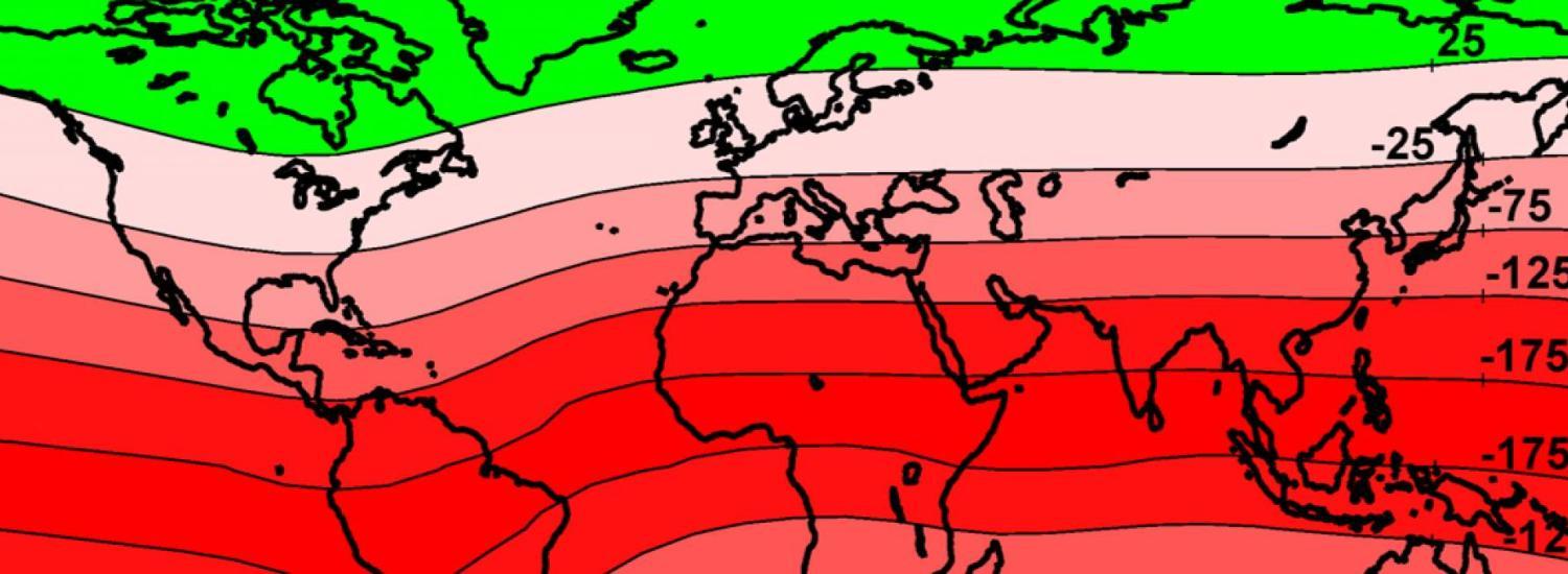
The HDGM provides a view of Earth’s main magnetic field and the field below the surface, providing magnetic field values (total field, dip, and declination) at any point near Earth's crust [between 100 km (~62 miles) altitude and ~10 km (~6 miles) below sea level]. Although these fields primarily arise from Earth’s hot circulating core, they also come about due to:
- Electric currents in Earth’s ionosphere
- Static fields, such as contributions from minerals at Earth’s surface and lithosphere
- Space weather events, which develop beyond the magnetosphere, Earth’s protective magnetic field
![]() Earth's magnetic structure. Courtesy of NOAA NCEI.
Earth's magnetic structure. Courtesy of NOAA NCEI.
The magnetosphere is a protective bubble that buffers us from the sun’s constant stream of charged particles—or solar wind. The wind from the sun, a continuous flow of plasma comprised of mostly electrons and protons with an embedded magnetic field, interacts with Earth and other objects in the solar system. Therefore, when conditions in space change, the magnetosphere can also change. Solar events, such as solar flares and coronal mass ejections, can cause these changes.
This story was written by NCEI Communications. Read the full story here.