Mapping Our Planet, One Ocean at a Time
It could be said that Earth’s oceans are the final frontier in exploration. More than 80 percent of the world's oceans remain unexplored and unmapped. Compare that to the Moon and Mars, which have both been mapped completely, and we are woefully behind in discovering what lies beneath.
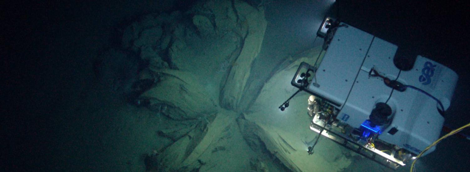
Human activities in our oceans continue to increase, and scientists from around the globe have come together to make mapping the entire ocean a reality by 2030. To aid in this endeavor, scientists from NCEI and other institutions have developed an algorithm that will play a significant role in cultivating a seabed mapping strategy for the North Atlantic Ocean and beyond.
The ocean floor has the same general characteristics as the above-water areas of the world, including mountains, plains, channels, canyons, hills, volcanoes, and more. These characteristics and the shape of the seafloor have immense influence on both ocean circulation and seafloor habitat.
Scientists create bathymetric maps and products to illustrate the depth and shapes of underwater terrain, just as topographical maps represent three-dimensional features of above-sea terrain. Knowledge of the seafloor’s shape is crucial for understanding ocean circulation patterns that influence ocean atmosphere processes, which distribute heat between the tropics and the poles—a key component of Earth’s climate system.
High-quality bathymetric maps are necessary for the designation of marine protected areas to conserve threatened ecosystems or habitats. And detailed measurements of ocean depth are critical for predicting tsunami inundation. In addition, ocean bathymetry is important for the study of tides, wave action, sediment transport, underwater geohazards, cable routing, fisheries management, resource exploration, and military and defense applications.
CIRES' Jesse Varner, who works in NCEI, is part of this effort. More at NCEI.