CIRES Programs and Research Groups
Earth Lab
Earth Lab science projects combine satellite, survey, and field data collected at various spatial and temporal scales to answer critical Earth Science questions and predict change using cutting-edge computational approaches.
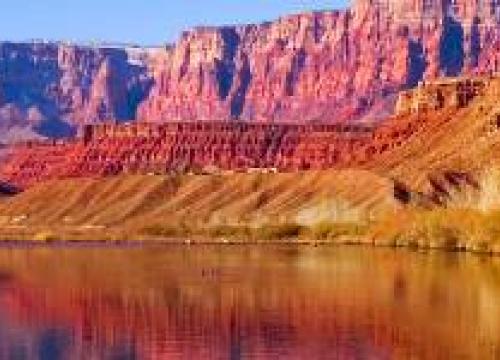
Western Water Assessment
Western Water Assessment (WWA) is CIRES’ signature integrating activity, relying on multidisciplinary teams of experts in climate, hydrology, ecology, law, and policy to work with decision makers across the Rocky Mountain West to produce policy-relevant information about climate variability and change.
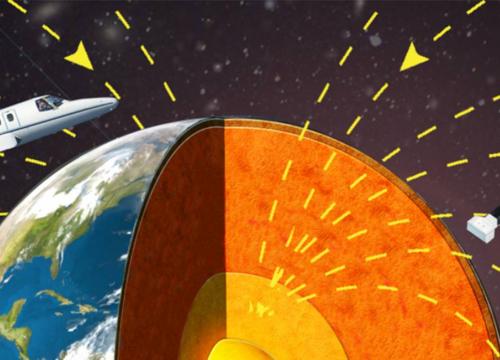
Geomagnetism
The CIRES/NCEI geomagnetism team conducts basic and applied research in the field of Earth magnetism. We develop data-based models and calculators of the various magnetic fields originating within the Earth and in the near-Earth space environment.
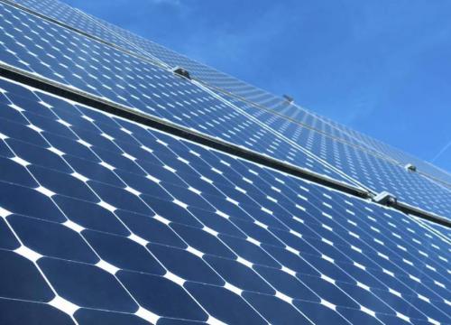
Energy and Environment Initiative
All these future energy options, renewable or fossil fuel based, impact the environment. CIRES researchers investigate the full suite of implications for air, water, land and ecosystem resources associated with different energy options.