In this lesson, students will elicit initial ideas about climate, explore images of Antarctica, learn important vocabulary, and synthesize how satellite imagery can help us understand climate change in Antarctica.
Context for Use
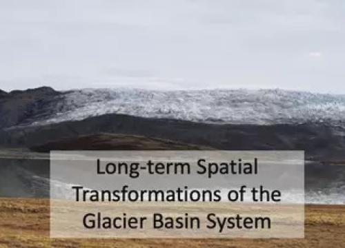
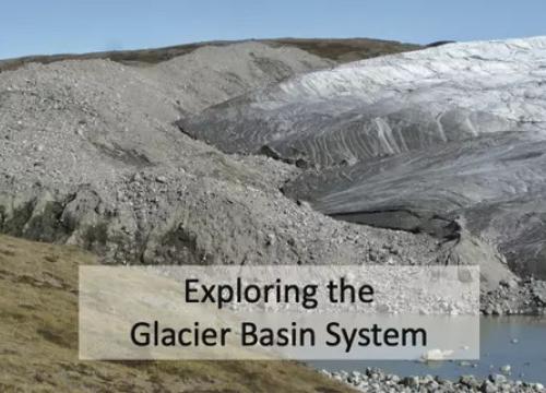
This is the first lesson of a five-part curriculum about Antarctic physical environments and ecosystems.
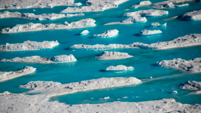
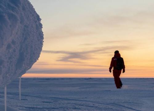
Meltwater on the ice shelf near the McMurdo research station, Antarctica.
Photo credit: Nicholas Bayou / UNAVCO

Goals Header
What Students Will Do
- Use new vocabulary to describe Antarctic climate and environmental processes, and surface hydrology in particular
- Begin to interpret satellite imagery of the Antarctic ice sheet
Teaching Materials
Description
Part 1 – (20 minutes) Climate and Antarctica Chalk Talk
Students will rotate through six posters and answer questions about climate and Antarctica designed to elicit existing ideas.
Part 2 – (25 minutes) Introduction to Satellite Imagery
Students will look at a variety of satellite images and fill out a table of what they notice (observations) and wonder (inferences).
Part 3 – (15 minutes) Interpreting Satellite Imagery
Students will match components of the imagery to specific vocabulary terms used in interpreting satellite imagery.