ESRI GIS map of fire hazards in colorado

Using ESRI GIS Tools to Explore Natural Hazards in Your Classroom

Using ESRI GIS Tools to Explore Natural Hazards in Your Classroom

View the first installment of the Natural Hazards Resilience Teacher Professional Development Series brought to you by the HEART Force program and the Earth Force RISE Challenge

Dr. Joseph Kerski, Education Manager for ESRI, will be sharing about free ESRI GIS educational tools teachers can use in their classroom to assess risk and vulnerability to natural hazards. Teachers who watch this training will walk away with tools they can use in their classroom tomorrow.

Check back for the recording posted on this page soon. 
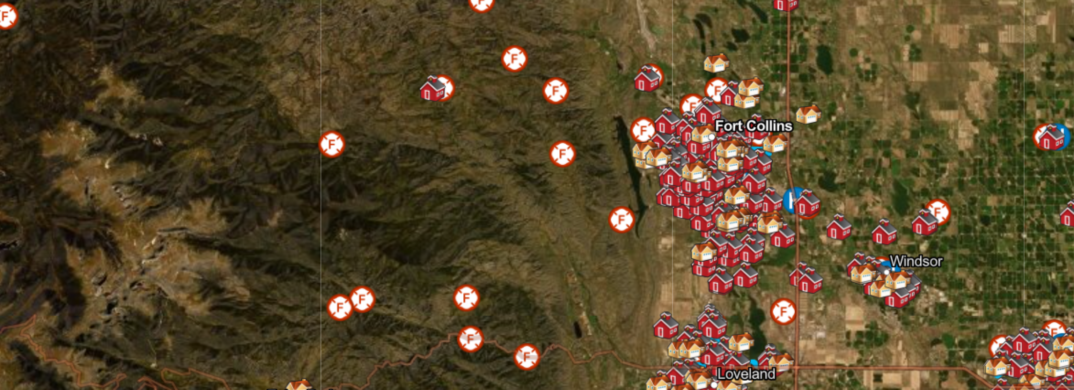
Image removed.

Illustration of two people high-fiving in a work environment

Get involved and stay up-to-date with CIRES CEEE.

CEEE Contact

ceee@colorado.edu
Phone: 303-492-5670
Fax: 303-735-3644

CEEE Mail

CIRES Center for Education, Engagement and Evaluation
University of Colorado Boulder
488 UCB
Boulder, CO 80309-0449

CEEE Office Hours

8:00 am to 5:00 pm MT -- fall and spring semesters