Lesson Plans & Activities
From Greenland to our Coasts: Exploring Sea Level Change with QGreenland
This unit consists of 3 lessons, each tied to NGSS life science standards
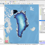
In this unit, students will explore how the Greenland Ice Sheet is changing and why that affects coastal communities worldwide. Students will view authentic Greenland geospatial data and learn how to create flood maps to assess local risk in QGIS.Unit
High School
Informal Audience