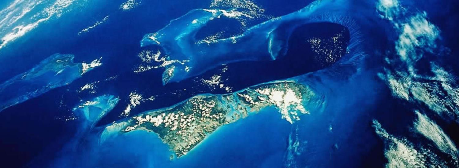
Earth Science and Observation Center (ESOC)
Advancing scientific and societal understanding of the Earth System based on innovative remote sensing research
Earth Science and Observation Center (ESOC)
Advancing scientific and societal understanding of the Earth System based on innovative remote sensing research

The Earth Science and Observation Center (ESOC) at CIRES is a research center dedicated to the understanding of the Earth System, primarily – but not exclusively - through the use of remote sensing techniques.
Since the 1980s, the importance of understanding the Earth as a system has become widely recognized, and remote sensing, both from air and space, has been a fundamental tool for this purpose. By providing observations of individual and integrated processes at the appropriate scales, with the appropriate perspective, and in the appropriate context to enable the study of the various components of the Earth system and their interactions, remote sensing has provided some of the greatest advances in Earth system science.
News

ESOC researchers capture stunning image of Halemaʻumaʻu Crater ahead of eruption
While conducting field research on Hawaiʻi’s Big Island, ESOC researchers captured a striking photo of Halemaʻumaʻu crater on August 21, 2025, just one night before Kīlauea’s eruptive episode 31 began.
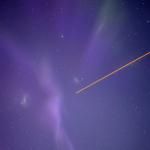
The image shows "the glow" the process of magma rising closer to the volcanoes main vent surface before eventually erupting. The Milky Way visible in the sky to the upper left, highlighting both geological activity and the island’s natural beauty.
The ESOC team was in Hawaiʻi to develop a lava height algorithm designed to precisely analyze topographic profiles. Their work aims to map fresh lava flow boundaries, differentiate lava textures, and calculate the area and volume of new volcanic material across complex terrain.
Dr. Xinzhao Chu delivers distinguished lecture at 2025 Asia Oceania Geosciences Society Conference
Dr. Xinzhao Chu was honored with the opportunity to deliver the distinguished lecture in the Solar-Terrestrial Sciences section at the 2025 Asia Oceania Geosciences Society (AOGS) Conference, held in Singapore. Her lecture was titled “Exploring the Geospace-Atmosphere System with LIDAR”.
Two of Dr. Chu’s students, Jackson Jandreau, PhD, and PhD student Yingfei Chen, also participated in the conference presenting recent discoveries from their research.
ESOC Congratulates Joel Johnson on CIRES Graduate Research Award
ESOC is proud to congratulate PhD student Joel Johnson for being selected as a recipient of the CIRES 2025 Graduate Student Research Award. The GSRA program recognizes outstanding student scholarship and research excellence. Joel, a student in CU's Department of Geological Sciences, focuses on "Precision River Width Mapping: Leveraging Commercial SAR for Upstream Monitoring." He is advised by Dr. Kristy Tiampo. More details on the GSRA program and 2025 recipients here.
ESOC research scientist Toby Minear tracks river flows by kayak
Minear has traveled the world to run rivers in his kayak. Sometimes, he combines the sport with his work on NASA’s Surface Water and Ocean Technology satellite (SWOT). The Colorado Sun and KUNC reported on finding joy in work that aligns with one’s passions.