Keeping water on the radar: Machine learning to aid in essential water cycle measurement
New low-cost instrument would use radar and machine learning to quickly and safely measure water levels in a variety of scenarios
Department of Computer Science assistant professor Chris Heckman and CIRES research hydrologist Toby Minear have been awarded a Grand Challenge Research & Innovation Seed Grant to create an instrument that could revolutionize our understanding of the amount of water in our rivers, lakes, wetlands and coastal areas by greatly increasing the places where we measure it.
The new low-cost instrument would use radar and machine learning to quickly and safely measure water levels in a variety of scenarios.
This work could prove vital as the USDA recently proclaimed the entire state of Colorado to be a "primary natural disaster area" due to an ongoing drought that has made the American West potentially the driest it has been in over a millennium. Other climate records across the globe also continue to be broken, year after year. Our understanding of the changing water cycle has never been more essential at a local, national and global level.
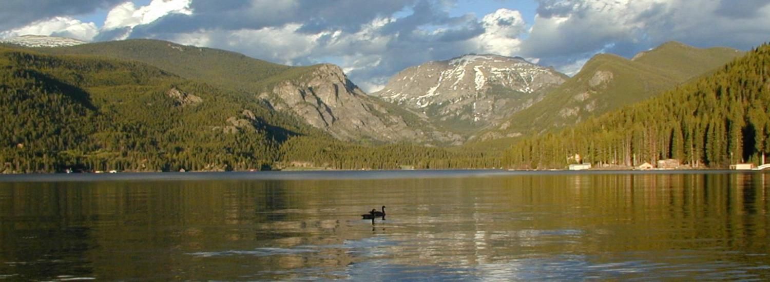
A fundamental part to developing this understanding is knowing changes in the surface height of bodies of water. Currently, measuring changing water surface levels involves high-cost sensors that are easily damaged by floods, difficult to install and time consuming to maintain.
"One of the big issues is that we have limited locations where we take measurements of surface water heights," Minear said.
Story by CU Boulder Engineering, continue reading here.