Open Forest Observatory creates new tools for better forest management
UC Davis, CU Boulder team building drone mapping platform and public database
Press Release
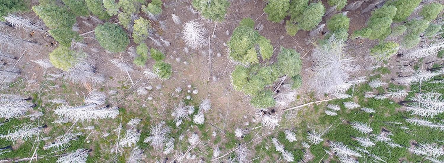
Environmental managers have a powerful new resource for helping our forests survive and recover from wildfire, drought and disease. The Open Forest Observatory—a pioneering project combining drone photography and forest mapping with machine learning, remote sensing, big-data crunching and open information sourcing—kicks off this month. The observatory, led by UC Davis, CIRES and others, will offer technology so friendly that users will need only a few weeks to learn it, instead of a year. And, for the first time, the project will make the resulting database available in a central repository.
“We'll be producing the data and the tools to help others address vexing forest ecology and land management questions,” said Derek Young, project lead and an assistant professional researcher with the Department of Plant Sciences at UC Davis.
“By building this project with an open science ethos, we’ll be intentional about sharing our data and methodology, which will further democratize access to cross-scale research of critical forest ecosystems,” said project co-lead Michael Koontz, a researcher with CIRES’ Earth Lab, and a UC Davis alumnus.
A $1-million grant from the National Science Foundation is funding the observatory over five years. It takes off this month, offering the potential to lift ecological research to new heights.
This story was modified from UC Davis communications. Continue reading here.