Planetary Tomography
International team pioneers new way to image Earth’s insides
By dissecting the sloshing signals of ocean tides recorded by magnetic satellites high above the Earth, a team of international researchers has managed to produce interior images of our planet, the scientists reported today in the journal Science Advances. Their proof-of-concept work could transform scientists’ ability to image and understand what lies below Earth’s crust, and could even help them remotely probe the interiors of other celestial bodies with tidal saltwater, such as Jupiter’s moons Europa and Ganymede.
“The really exciting thing is that we’re using satellite data, meaning nothing that has to actually touch the planet, to probe the interior of the Earth,” said co-author Neesha Schnepf, a Ph.D. student at the University of Colorado Boulder and NOAA’s National Centers for Environmental Information. Schnepf is also part of CIRES.
Led by Alexander Grayver of the Swiss Federal Institute of Technology (ETH) in Zurich, the research team focused on the boundary between Earth’s relatively rigid crust and part of the upper mantle, known as the lithosphere, and the more viscous, deeper asthenosphere.
“There are so many reasons we want to understand this region of the planet better,” Schnepf said. “It is critical in understanding the plate tectonics that control hazards like volcanoes and earthquakes, as well as in understanding the fundamental aspects of the composition, structure and dynamics of Earth’s mantle.”
The team used a technique called tomography, better known as a way to make exquisitely detailed images of structures inside the body—to find and map a tumor in three dimensions, for example, or to illuminate the lungs without surgery.
In Earth science, tomography has become a critical tool for learning about Earth’s deep structures—but there’s no surgical analogy, no way to dig deep and wide enough to understand, say, the asthenosphere-lithosphere boundary. Seismic tomography is one classic example: By studying the movement of seismic waves around the planet, captured by ground-based instruments, researchers can learn something about the planet’s interior structure. Warmer and cooler areas affect seismic signals differently, and moisture and chemistry deep inside can make a difference, too.
To do that kind of work globally, however, has been challenging. Grayver and his colleagues figured they might be able to use data from satellites that measure magnetic fields, and which serendipitously captured the electromagnetic sloshing of salt water due to tides. Tidal flows generate electric current loops in the ocean with different spatial scales. These current loops senses the electric conductivity of the Earth at depths, corresponding to their sizes.
Because tides are so well described, mathematically, the researchers could pull the tidal-related data from satellites. But embedded in those data were small variations caused by Earth’s interior structures, including temperature and chemical differences. Grayver, Schnepf and their colleagues used a sophisticated inverse modeling technique to ask what kinds of interior changes below Earth’s crust could cause similar magnetic pattern. Their findings complemented those from seismic tomography: At a depth of 72 km (45 miles), the new study revealed a sharp increase in electrical conductivity likely associated with the lithosphere-asthenosphere boundary.
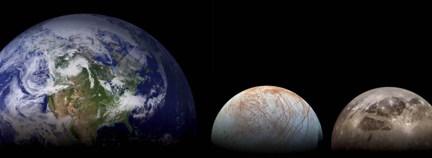
“We may someday be able to apply this technique to planets and moons way beyond Earth,” Schnepf said. “Anywhere there’s tidally moving salt water, such as on Europa, there’s the potential to learn something about what lies beneath.”
This paper relied on data from the European Space Agency’s Swarm mission and other magnetic satellites.