Greg Tucker
Professor of Geological Sciences
- Ph.D., Penn State, 1996
Research Interests
My interests lie in geomorphology and landscape evolution. My group seeks to understand the physics of diverse geomorphic processes, and how these processes interact to shape terrain and move sediment. Some of our efforts are geared toward understanding the evolution of the earth's surface over geologic time; others focus on contemporary issues such as gully development and erosional threats to toxic waste repositories. We also develop and share open-source software technology to support computational modeling of diverse earth-surface processes. Through teaching, I strive to equip students with the skills in writing and quantitative analysis that they need to understand, investigate, and make informed decisions about our fascinating and dynamic planet. I also have an interest in open-source scientific software. I serve as Executive Director for the Community Surface Dynamics Modeling System (CSDMS), an NSF-supported organization that facilitates computational modeling in earth-surface sciences by providing support for community, computing, and education.
Current Research
Some recent research themes in my group include:
- Developing flexible software libraries and code packages to facilitate numerical modeling of earth-surface processes (Tucker et al., 2022; Gan et al., 2024; Barnhart et al., 2018, 2019a, b, 2020a; Bandaragoda et al., 2019; Hutton et al., 2020; Litwin et al., 2020; Hobley et al., 2017; Shobe et al., 2017)
- Influence of landsliding on the evolution of terrain (Campforts et al., 2022)
- The role of gravel transport and abrasion in river network evolution (Gabel et al., in review)
- Morphology and evolution of steep hillslopes (Tucker et al., 2020; Tucker et al., 2011; Tucker et al., 2018; Tucker et al., 2016; Shmilovitz et al., 2023,2024)
- Using natural experiments to test and compare landscape evolution models (Barnhart et al., 2020b,c,d)
- Long-term forecasting of erosional release of hazardous waste (Barnhart et al., 2020e)
- Role of climate, hydrology, and lithology in landscape evolution (Gray et al., 2020; Rossi et al., 2020; Shobe et al., 2018, 2020; Glade et al., 2019)
Research Example: Modeling Long-Term Erosion in the Context of Hazardous Waste
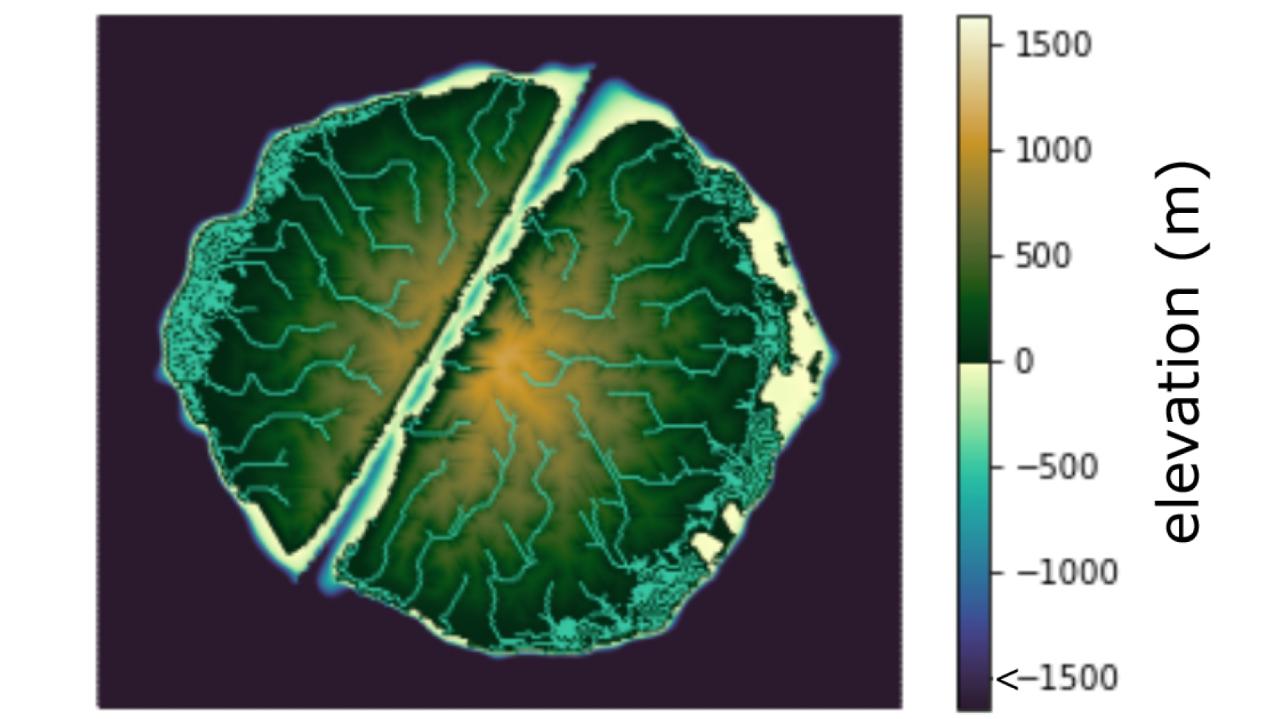
When hazardous waste material sits in a location that may be susceptible to erosion, how do we estimate the likelihood of future contaminant release? This is a question that my group recently grappled with, in the context of a former nuclear fuel reprocessing plant in western New York State. During its operational life in the late 1960s and early 1970s, the plant generated a variety of radioactive waste products; much of this material remains entombed at the site today. The plant lies atop a plateau underlain by soft late Pleistocene glacial sediments. Active erosional processes, including landsliding and gully propagation, are gradually gnawing at the plateau edges. In a project spearheaded by CIRES researcher and NSF Postdoctoral Fellow Katy Barnhart (now at USGS Landslide Hazards Group), our team undertook a computational modeling study of past and future long-term erosion at the site. We took advantage of a unique aspect of the site’s recent geologic history: the last recession of glacial ice about 13,000 years ago left behind a relatively smooth surface that has subsequently been deeply incised by stream valleys. By reconstructing this smooth post-glacial surface and running a suite of erosion models forward in time from the late Pleistocene to the present day, we were able to test and calibrate a collection of alternative models. The models were crafted using Landlab Toolkit, a Python-language modeling framework developed with NSF support as an element of the CSDMS Workbench. In addition to providing a basis for making projections of future erosion, the results shed new light on the key principles of long-term landscape evolution in this type of post-glacial environment, and yielded a new method for testing quantitative models.
Research Categories
Solid Earth, Water ResourcesResearch Images
Honors and Awards
to
Invalid date -Sponsors
-
Invalid dateP.I.(s)
About CECA
CECA connects and creates a supportive environment for graduate students and postdocs who come from various academic units to do research in CIRES.
