Groundwater levels in the US Southwest more sensitive to climate shifts than in the Pacific Northwest
Scientists use fossil groundwater, model simulations to identify regional differences in aquifer response during period of past warming

During the last ice age, when massive ice sheets blanketed large portions of North America, weather patterns pushed storms south, soaking the Southwestern U.S with rain. But as the climate warmed and ice sheets melted and retreated, storms moved north, creating the wet Pacific Northwest and arid Southwest that we know today.
Groundwater levels in these two regions responded differently to the precipitation changes, according to new research published in Science Advances. Groundwater levels dropped in the Southwest as rainfall decreased, while those in the Pacific Northwest remained relatively unchanged despite the region getting wetter. The work suggests that aquifers in the Southwest, which are crucial sources of freshwater for millions of people, may be more sensitive to shifts in climate.
“On average, climate models suggest that the Southwestern U.S. may get drier while the Pacific Northwest may get wetter by the end of the century,” said Alan Seltzer, an associate scientist at Woods Hole Oceanographic Institution (WHOI) and lead author of the study. “The Last Glacial Termination gives us a window to explore groundwater dynamics that might be quite relevant to future change.”
Groundwater is Earth’s largest liquid source of freshwater, providing 25 to 50 percent of the water humans use globally for drinking, cooking, industry, and growing crops. Millions of wells around the world are at risk of drying up due to climate change. Communities are looking to scientists for accurate predictions of groundwater storage so they can better manage and plan for the future.
Modern-day records of groundwater levels are limited to the last century or two and influenced by both climate and human activity, making it difficult for scientists to uncover long-term patterns associated with climate change. Seltzer and his co-authors, including CIRES Fellow Kris Karnauskas and former CIRES Visiting Fellow Dillon Amaya, built new records of groundwater levels from the Last Glacial Termination, a period of warming, ice sheet loss, and major environmental change that occurred between 20,000 and 11,000 years ago.
“Going back in time to large amplitude changes helps us understand the behavior of a system, like groundwater, which we may struggle to capture with short modern records,” Seltzer said.
The team sampled fossil groundwater dated to different times within the Last Glacial Termination from 17 wells in Washington and Idaho. They analyzed the water to identify isotopes, which are forms of the same element that contain different numbers of neutrons, of 2 noble gases: xenon and krypton. Then they used a method developed by Seltzer to harness small mass differences in the noble gas isotopes, driven by gravity, to calculate past water table depths.
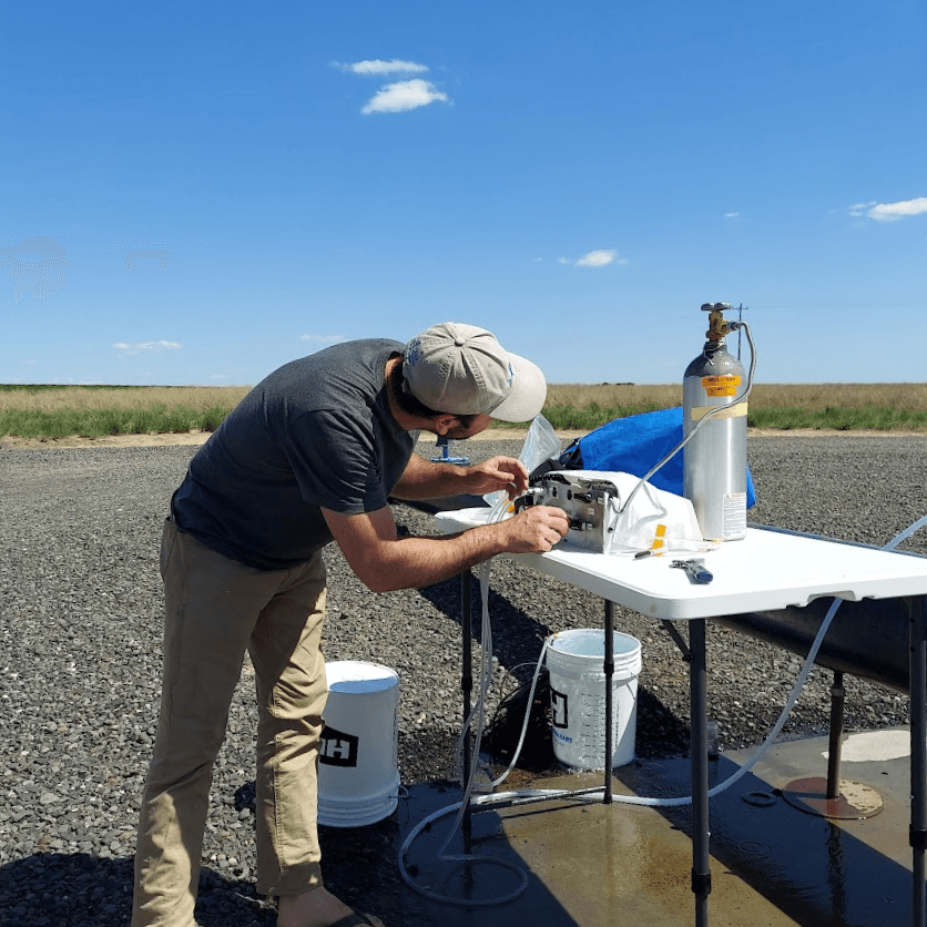
Extracting dissolved gases from 20,000 year-old groundwater flowing from a supply well on a farm in Eastern Washington.
The scientists found that the water table depth in the Pacific Northwest remained relatively stable between 20,000 and 11,000 years ago despite an increase in rainfall over the same time. They combined the results with previous work led by Seltzer, which found water table levels in Southern California dropped sharply in response to a loss of precipitation during the deglaciation.
The team then compared the results from the ancient groundwater samples to simulations from an Earth system model over the same past warming interval, which includes regional changes in precipitation in the Western U.S. and a simple, large-scale representation of groundwater.
“The model gave almost exactly the same answer as the isotope measurements,” Seltzer said. “This was an exciting result that indicates that Earth system models, despite their simplicity in representing groundwater, might be capturing some important dynamics.”

In the Pacific Northwest, the water table depth remained relatively stable between the last ice age and the early Holocene despite an increase in precipitation. In the Southwest, precipitation decreased between the last ice age and the early Holocene, and the water table depth dropped.
Even though Earth system models don’t simulate complex hydrologic processes, their agreement with data from ancient groundwater suggests they could be useful for understanding large-scale shifts in groundwater storage in response to a changing climate.
“While this study focused on western North America, using these model simulations combined with the new insights from the ancient water table depth records, we were able to map out areas of concern globally,” said Karnauskas, who is also an associate professor of Atmospheric and Oceanic Sciences at CU Boulder. “By going beyond just precipitation, these results should help direct research and adaptation efforts to regions with heightened water insecurity in the future.”