Research
We conduct innovative research that advances our understanding of global, regional, and local environments
Research
We conduct innovative research that advances our understanding of global, regional, and local environments
CIRES scientists study a wide range of Earth system science topics, including weather and climate, changes at Earth’s poles, atmospheric chemistry, water resources, big data analysis, and solid Earth sciences. Our people work in 10 CU Boulder departments and several NOAA laboratories and centers. We self-organize into programs, centers, and teams that enable collaboration across boundaries to address significant research challenges.
Centers and Programs
CIRES centers and programs bridge scientific disciplines, institutions, and geographies, enabling rapid scientific response to emerging challenges, and fostering collaboration. They also represent some of CIRES’ major research areas. CIRES centers are formally established research units at CU Boulder.
Research Groups
CIRES includes research groups organized by discipline and institution (eg, the Geomagnetism group in NOAA's National Centers for Environmental Information) and teams of researchers supported by CIRES faculty.
Instrument Development
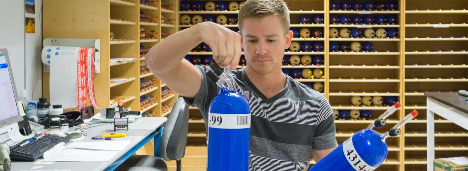
The CIRES/Chemistry Integrated Instrument Development Facility is multi-faceted, consisting of design, precision machine, electronics and scientific glassblowing shops dedicated to the design and fabrication of scientific instrumentation. IIDF specializes in complete instrument development, from concept to testing, but is happy to assist our customers at whatever level is needed whether they are inside or outside the university community.
Areas of Research
CIRES' areas of research evolve with the evolving interests of our faculty and our key partners, including NOAA.
CIRES at NOAA
The Cooperative Institute for Earth Systems Research and Data Science, CIESRDS, is the current cooperative agreement between CU Boulder and NOAA